

- BepiColombo laser altimeter simulator. Proceedings of the 16th International Workshop on Laser Ranging, SLR the Next Generation, Space Research Centre, Polish Academy of Sciences, 2009 more… BibTeX
- Altimetry and transponder ground simulation experiment. Proceedings of the 16th International Workshop on Laser Ranging, SLR the Next Generation, Space Research Centre, Polish Academy of Sciences, 2009 more… BibTeX
- Physically consistent system model for the study of the Earth's rotation, surface deformation and gravity field parameters. DGK, Reihe B. Verlag der Bayerischen Akademie der Wissenschaften, 2009 more… BibTeX
- Zur Kombination von VLBI und GNSS. Verlag der Bayerischen Akademie der Wissenschaften, 2009, more… BibTeX
- Geographische Finsternisse vertreiben. 250 Jahre Bayerische Akademie der Wissenschaften - 1759 bis 2009, Akademie Aktuell (2, 29), 2009, 58-61 more… BibTeX
- CONGO: First GPS/GIOVE tracking network for science, research. GPS World 20 (9), 2009, 56-62 more… BibTeX
- Reprocessing of a global GPS network. Verlag der Bayerischen Akademie der Wissenschaften, 2009, more… BibTeX
- Earth rotation observed by very long baseline interferometry and ring laser. Pure and Applied Geophysics 166 (8-9), 2009, 1499-1517 more… BibTeX Full text ( DOI )
- A geodetic view on isostatic models. Pure and Applied Geophysics 166 (8-9), 2009, 1247-1260 more… BibTeX Full text ( DOI )
- The large ring laser G for continuous Earth rotation monitoring. Pure and Applied Geophysics 166 (8-9), 2009, 1485-1498 more… BibTeX Full text ( DOI )
- Precise orbit determination for the FORMOSAT-3/COSMIC satellite mission using GPS. Journal of Geodesy 83 (5), 2009, 477-489 more… BibTeX Full text ( DOI )
- Preprocessing of gravity gradients at the GOCE high-level processing facility. Journal of Geodesy 83 (7), 2009, 659-678 more… BibTeX Full text ( DOI )
- On the spectral consistency of the altimetric ocean and geoid surface: a one-dimensional example. Journal of Geodesy 83 (9), 2009, 805 - 815 more… BibTeX Full text ( DOI )
- Annual deformation signals from homogeneously reprocessed VLBI and GPS height time series. Journal of Geodesy 83 (10), 2009, 973-988 more… BibTeX Full text ( DOI )
- Phase center modeling for LEO GPS receiver antennas and its impact on precise orbit determination. Journal of Geodesy 83 (12), 2009, 1145-1162 more… BibTeX Full text ( DOI )
- Einstein Gravity Explorer a medium-class fundamental physics mission. Experimental Astronomy 23 (2), 2009, 573-610 more… BibTeX Full text ( DOI )
- Orbit determination for the GOCE satellite. Advances in Space Research 43 (5), 2009, 760-768 more… BibTeX Full text ( DOI )
- Altimetry and transponder ground simulation experiment. Planetary and Space Science 57 (12), 2009, 1485-1490 more… BibTeX Full text ( DOI )
- On the homogeneity and interpretation of precipitable water time series derived from global GPS observations. Journal of Geophysical Research 114 (D10), 2009 more… BibTeX Full text ( DOI )
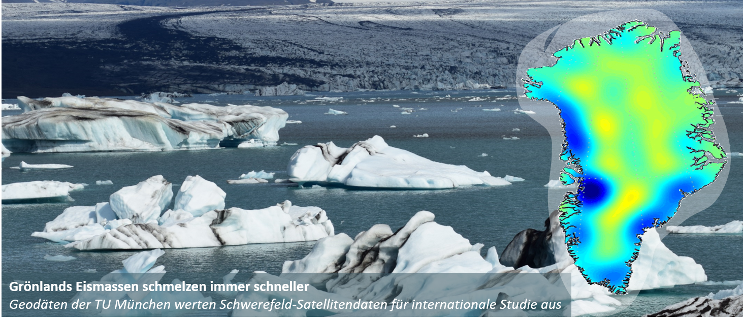
- Earth oblateness changes reveal land ice contribution to interannual sea level variability. Geophysical Research Letters 36 (23), 2009 more… BibTeX Full text ( DOI )
- Experiments with an 834 m² ring laser interferometer. Journal of Applied Physics 105 (11), 2009 more… BibTeX Full text ( DOI )
- Signal and error in mass change inferences from GRACE: the case of Antarctica. Geophysical Journal International 177 (3), 2009, 849-864 more… BibTeX Full text ( DOI )
- Obervations and modeling of rotational signals in the P coda. Bulletin of the Seismological Society of America (BSSA) - Special Issue on Rotational Seismology 99 (2B), 2009, 1315-1332 more… BibTeX Full text ( DOI )
- Mapping glaciers in Jotunheimen, South-Norway, during the Little Ice Age maximum. The Cryosphere 3 (2), 2009, 231-243 more… BibTeX Full text ( DOI )
- Mapping and morphometric analysis of glaciers in Jotunheimen, South Norway, during the "Little Ice Age" maximum. The Cryosphere Discussions 3 (2), 2009, 351-381 more… BibTeX Full text ( DOI )
Ingenieurinstitut für Astronomische und Physikalische Geodäsie
Das Ingenieurinstitut besteht aus:

Lehrstuhl für Astronomische und Physikalische Geodäsie
Univ.-Prof. Dr.techn. Mag.rer.nat. Roland Pail

Professur für Satellitengeodäsie
Univ.-Prof. Dr.phil.nat. Urs Hugentobler