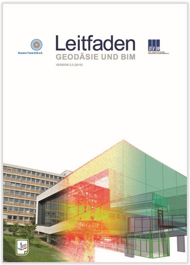
As part of INTERGEO 2019 , version 2.0 of the Geodesy and BIM Guidelines was published.
The Chair of Geoinformatics contributed to the guideline as member of the editorial team and by writing articles to the part describing the foundations of BIM and Geodesy.
The guideline prepares the topic Building Information Modeling (BIM) with focus on the connections between BIM and Geodesy and Geoinformatics as manual and reference work.
In the current version, a chapter with concrete recommendations for action, further practical examples, products and services have been included, and the explanations on the foundations have been updated. Hereby, special focus was placed on the georeferencing of BIM models.
The guide is published jointly by the associations Runder Tisch GIS (round table GIS) and DVW - Society for Geodesy, Geoinformation and Land Management and can be downloaded here free of charge: Download Geodesy and BIM Guidelines
News
Version 2.0 of the Geodesy and BIM Guidelines released
Runder Tisch GIS e.V., Leonhard Obermeyer Center |
