
In summer 2025, our team continued our monitoring campaigns along the Isar River with exciting new multi-sensor acquisitions.
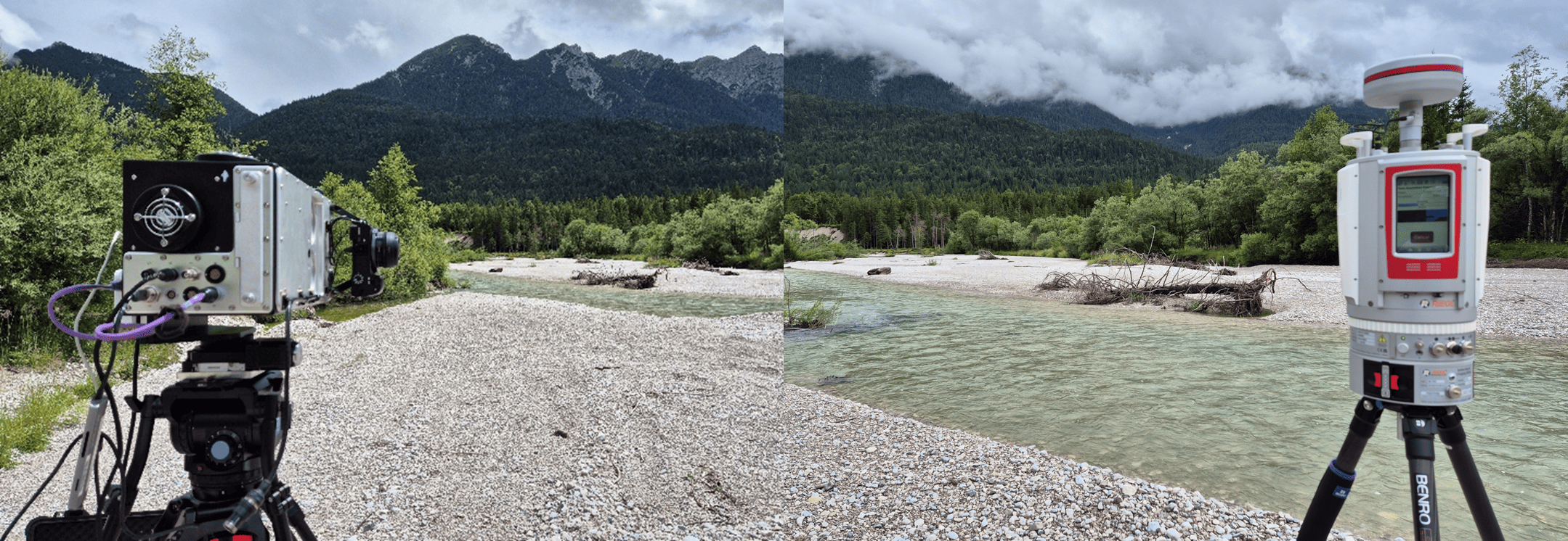
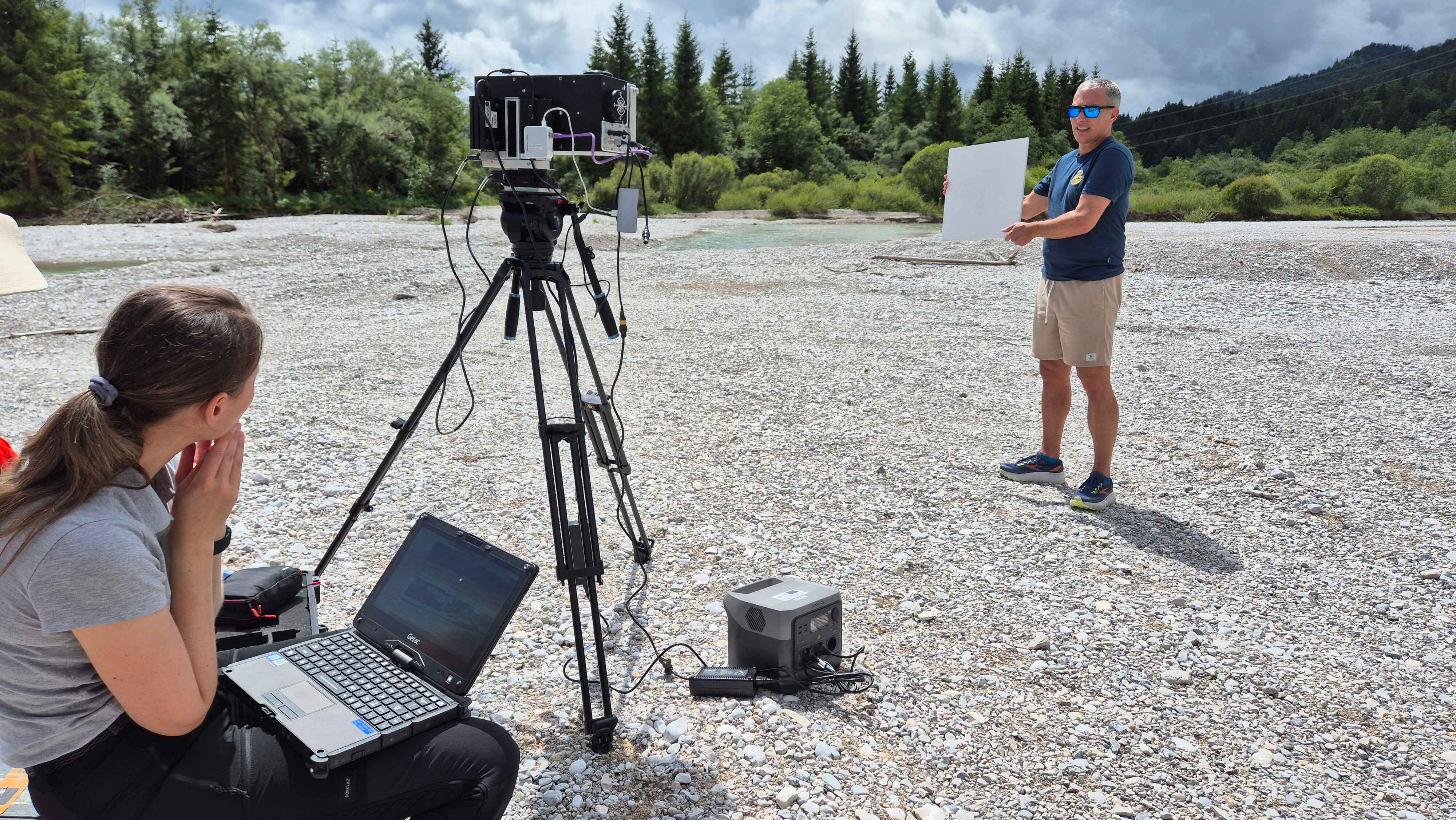
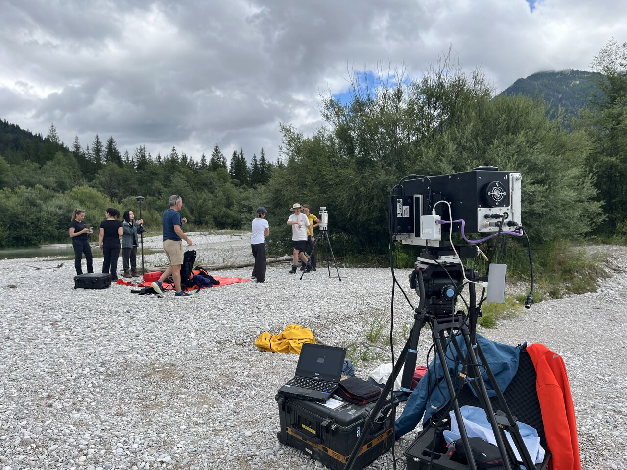
In July, in collaboration with Richard Gloaguen’s team from HIF@HZDR, we conducted an exploratory campaign combining terrestrial laser scanning (TLS) and hyperspectral imaging. This marked our first step toward generating hyperclouds that integrate 3D geometric information with rich spectral details. Such an approach opens new opportunities for advancing methods in multi-sensor data fusion and for exploring how complementary data sources can improve environmental analysis.
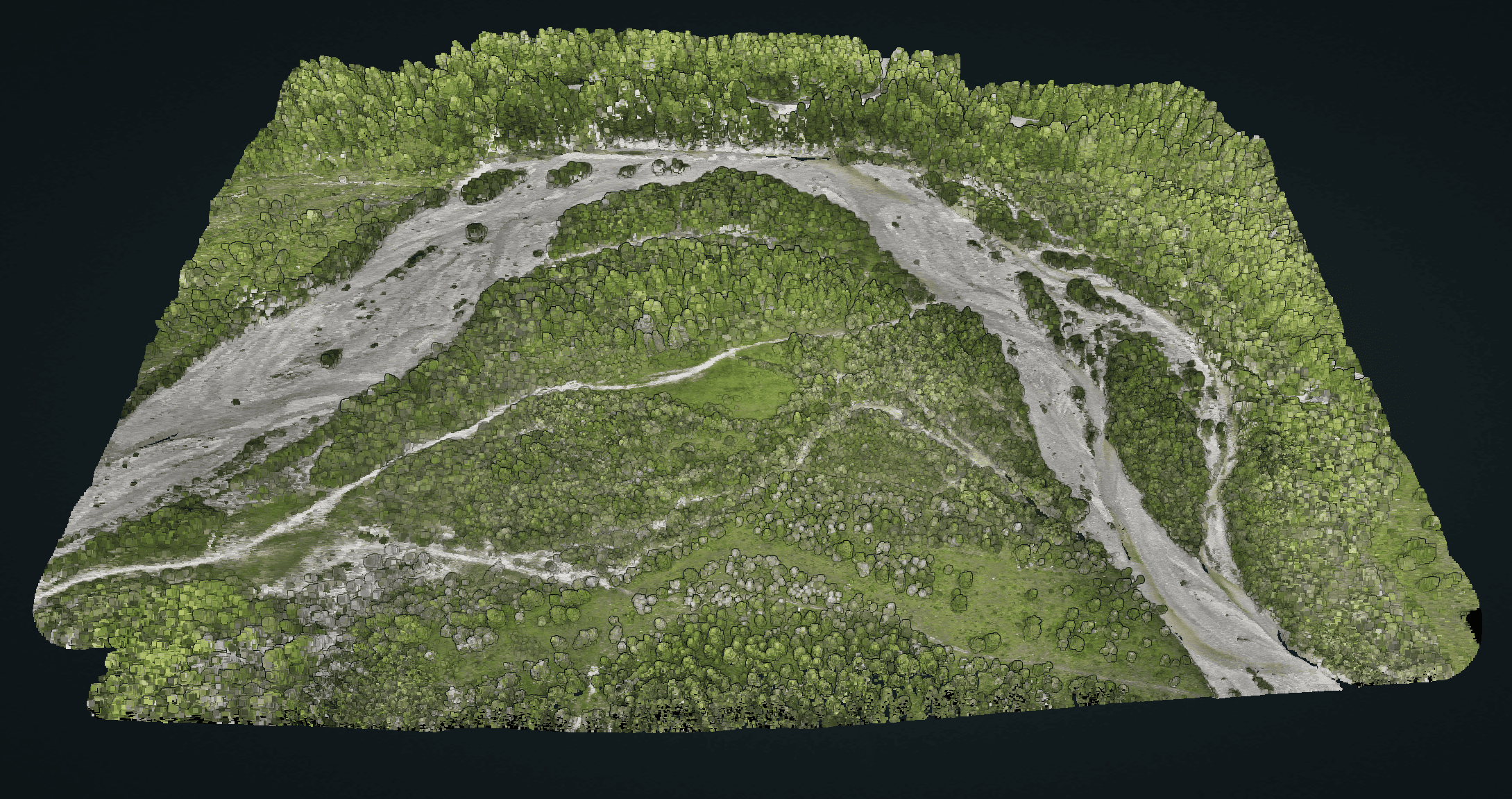
In September, we continued with our regular UAV laser scanning (ULS) campaign, providing a high-precision 3D point cloud of the riverbank. This dataset forms a solid basis for river sediment modeling and change analysis over time.
With these acquisitions now completed, the next phase will focus on processing and analysis. Stay tuned for further results and updates!
Many thanks to Richard Gloaguen, René Booysen, Margret C. Fuchs, Sam Thiele, Katharina Anders, Jiapan Wang, Mathilde Letard, Xiaoyu Huang, Pim Maydhisudhiwongs, Robin Scharnagl, Prabin Gyawalifor the great collaboration!
Explore our data in 3D here:
👉 Potree Viewer – Isar Riverbank Scene