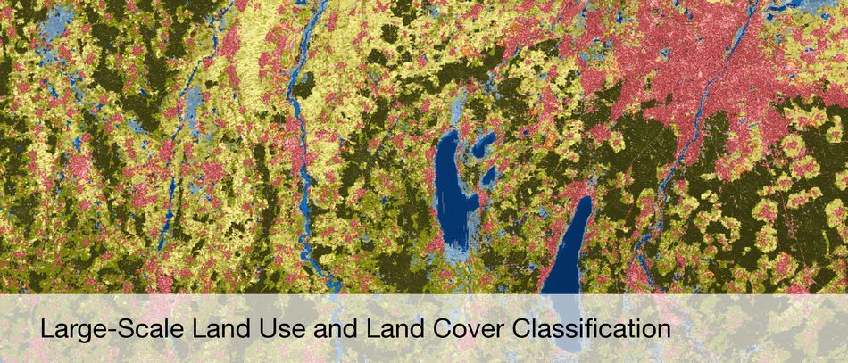
Information and knowledge from remote sensing data
Satellite- and Airplane-based Earth Observation
Synthetic Aperture Radar (SAR) and SAR Interferometry
High Resolution Optical Image Interpretation
Hyperspectral Earth Observation
Estimation Theory
Sparse Reconstruction and Compressive Sensing
3D Reconstruction
4D Motion Detection
Data Fusion
Computer Vision
Machine Learning
Deep Learning
Recent Publications
Zhu, X., Bamler, R: Within the Resolution Cell: Super-Resolution in Tomographic SAR Imaging. Int. Geosci. Remote Sensing Symp., IGARSS 2011, 2011 more…
Zhu, X., Bamler, R.: Multi-Component Nonlinear Motion Estimation in Differential SAR Tomography – The Time Warp Method. Int. Geosci. Remote Sensing Symp., IGARSS 2011, 2011 more…
Brcic, R. Parizzi, A., Eineder, M., Bamler, R., Mayer, F.: Ionospheric Effects in SAR Interferometry: An Analysis and Comparison of methods for their estimation. Int. Geosci. Remote Sensing Symp., IGARSS 2011, 2011 more…
Bieniarz, J.; Cerra, D.; Avbelj, J.; Reinartz, P.; Müller, R.: Hyperspectral Image Resolution Enhancement Based on Spectral Unmixing and Information Fusion. ISPRS Hannover Workshop 2011: High-Resolution Earth Imaging for Geospatial Information Hannover, Germany, 2011 more…
Cerra, D.; Bieniarz, J.; Avbelj, J.; Reinartz, P.; Müller, R.: Spectral Matching through Data Compression. ISPRS Hannover Workshop 2011, High-Resolution Earth Imaging for Geospatial Information, 2011 more…