TUMap
A small application showing the capabilities of modern Remote Sensing technologies. Short explanations of the queryable layers are beneath the map. Don't be shy and try!
Special thanks to ESA and the Copernicus Data Space Ecosystem!
More Info
This layer shows the surface of planet earth in true color as you could see it from the moon. Note that the most recent images from the Sentinel 2 Mission by the Copernicus Program of ESA are used where the maximum cloud coverage is below 20%. The highest queryable resolution is 10m per pixel.
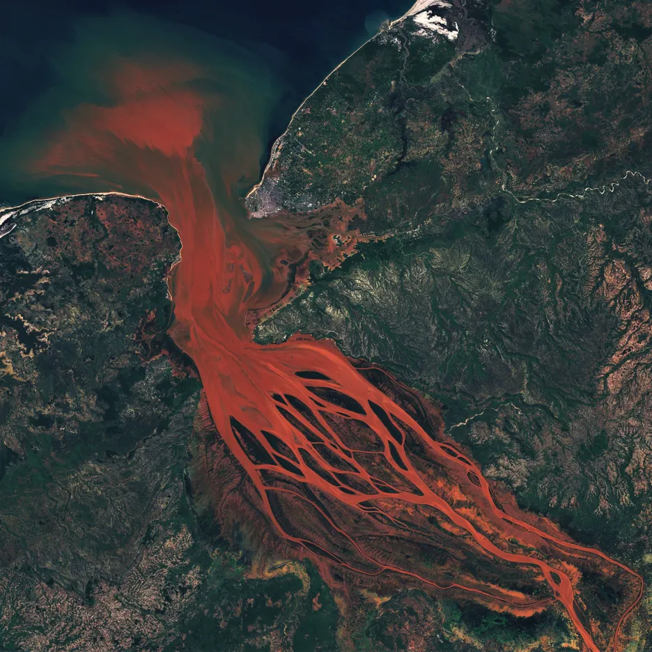
This layer shows the surface of planet earth in a mixture of visible light and the infrared spectrum. Note that the most recent images from the Sentinel 2 Mission by the Copernicus Program of ESA are used where the maximum cloud coverage is below 20%. The highest queryable resolution is 20/10m per pixel.
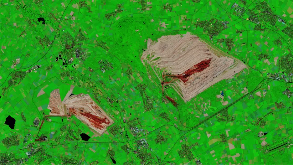
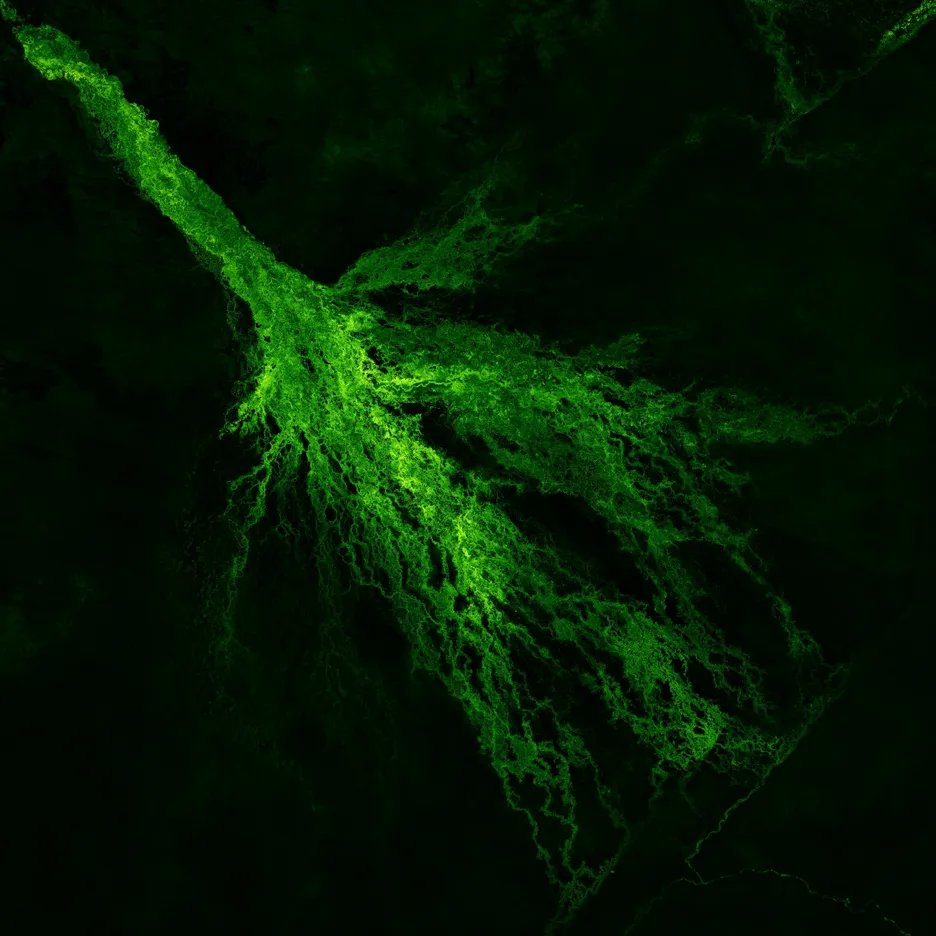
This layer shows the surface vegetation of planet earth visualized by a green-white colormap. The larger the Normalized Difference Vegetation Index (NDVI), the greener/whiter the pixels are and, accordingly, the vegetative growth. For this index, infrared and visible red are combined for the assessment of our planets vegetation. Note that the most recent measurements from the Sentinel 2 Mission by the Copernicus Program of ESA are used where the maximum cloud coverage is below 20%. The highest queryable resolution is 10m per pixel.
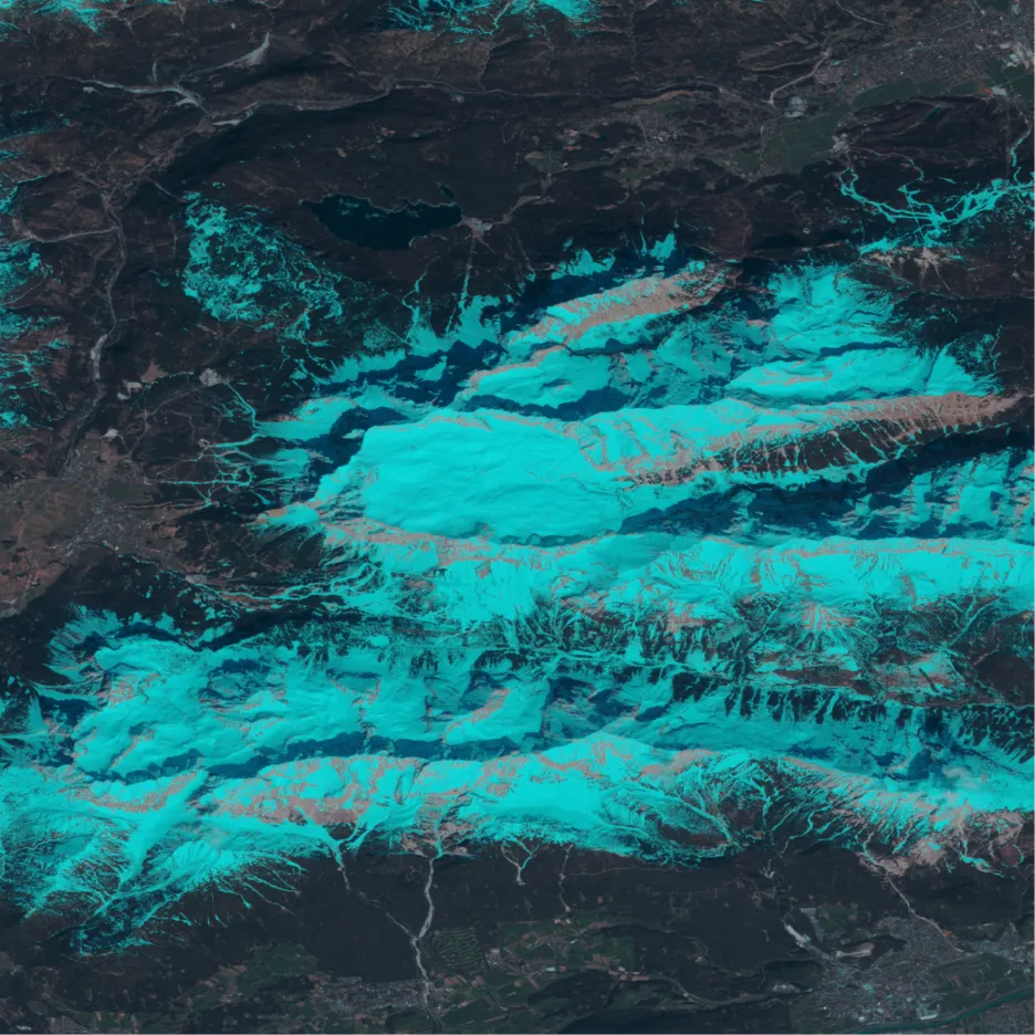
This layer shows the surface of planet earth in true color whereas snow or frozen areas are visualized by cyan color. It is possible that clouds or salty soil look cyan (or metallic) as well. This visualization is based on several weighted infrared bands and visible light which are combined in a similar manner as for the NDVI or the BurnME layers. Note that the most recent measurements from the Sentinel 2 Mission by the Copernicus Program of ESA are used where the maximum cloud coverage is below 20%. The highest queryable resolution is 10m per pixel.
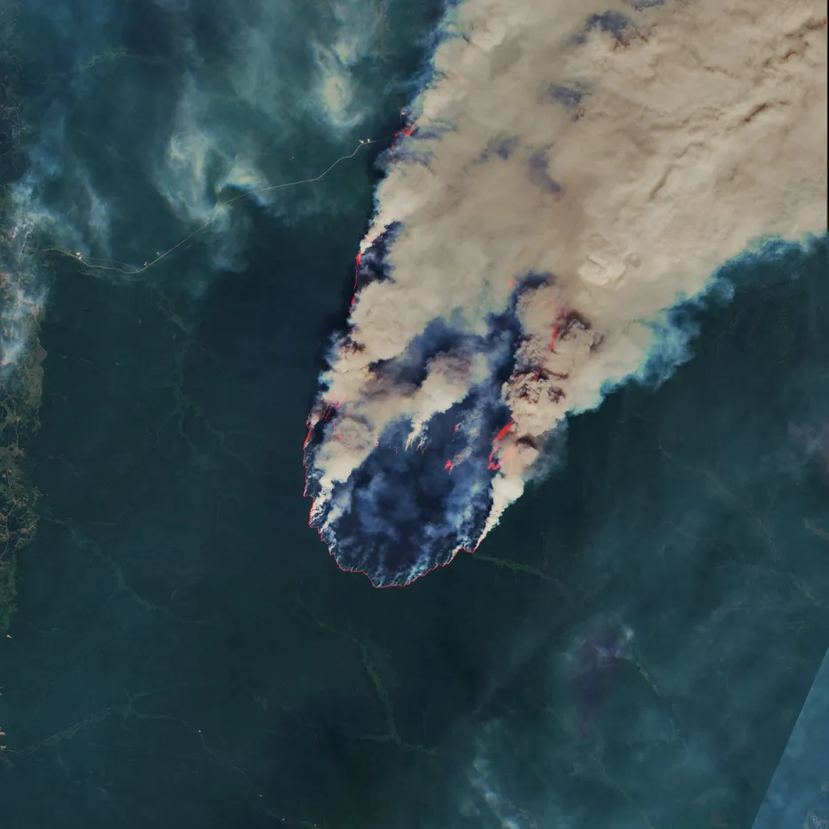
This layer shows the surface of planet earth whereas fires, trouble spots or very hot areas in general are visualized by deep red color. Similar to the NDVI or SnowME layers, the calculation is based on several weighted infrared bands and visible light. Note that the most recent measurements from the Sentinel 2 Mission by the Copernicus Program of ESA are used where the maximum cloud coverage is below 20%. The highest queryable resolution is 10m per pixel.
