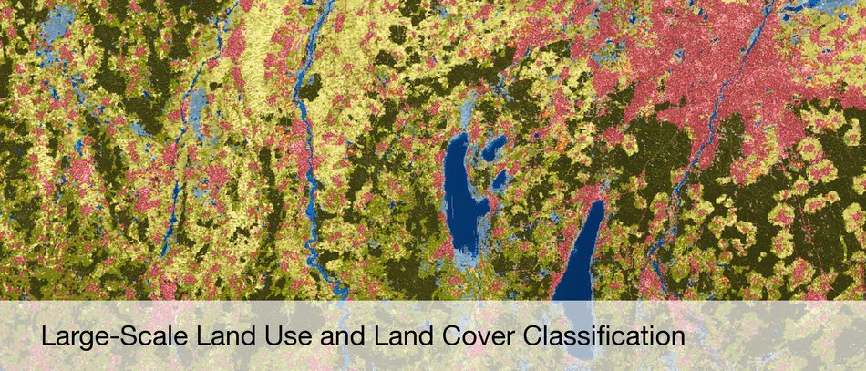
Information and knowledge from remote sensing data
Satellite- and Airplane-based Earth Observation
Synthetic Aperture Radar (SAR) and SAR Interferometry
High Resolution Optical Image Interpretation
Hyperspectral Earth Observation
Estimation Theory
Sparse Reconstruction and Compressive Sensing
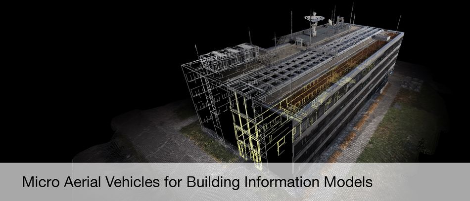
3D Reconstruction
4D Motion Detection
Data Fusion
Computer Vision
Machine Learning
Deep Learning
Recent Publications
Lenhart, D.; Hinz, S.: Refining Correctness of Vehicle Detection and Tracking in Aerial Image Sequences by means of Velocity and Trajectory Evaluation. International Archives of Photogrammetry, Remote Sensing and Spatial Information Sciences, 2009, 181-186 more…
Yao, W.; Hinz, S.; Stilla, U.: Vehicle Activity Indication from Airborne LiDAR Data of urban Areas by Binary Shape Classification of Point Sets. International Archives of Photogrammetry, Remote Sensing and Spatial Information Sciences, 2009, 35-40 more…
Frey, D.; Butenuth, M.: Near-Realtime Classification of Intact Road Networks for Disaster Management using Multi-sensorial Spaceborne Imagery. Publikationen der Deutschen Gesellschaft für Photogrammetrie, Fernerkundung und Geoinformation, 2009, 69-77 more…
Hinz, S.; Stephani, M.; Schiemann, L.; Zeller, K.: An image engineering system for the inspection of transparent construction materials. ISPRS Journal of Photogrammetry and Remote Sensing, Elsevier B.V, 2009, 297-307 more…
Brcic, Ramon; Eineder, Michael; Bamler, Richard; Steinbrecher, Ulrich; Schulze, Daniel; Metzig, Robert: Delta-k Wideband SAR Interferometry for DEM Generation and Persistent Scatterers using TerraSAR-X Data. FRINGE 2009 Workshop, 2009 more…