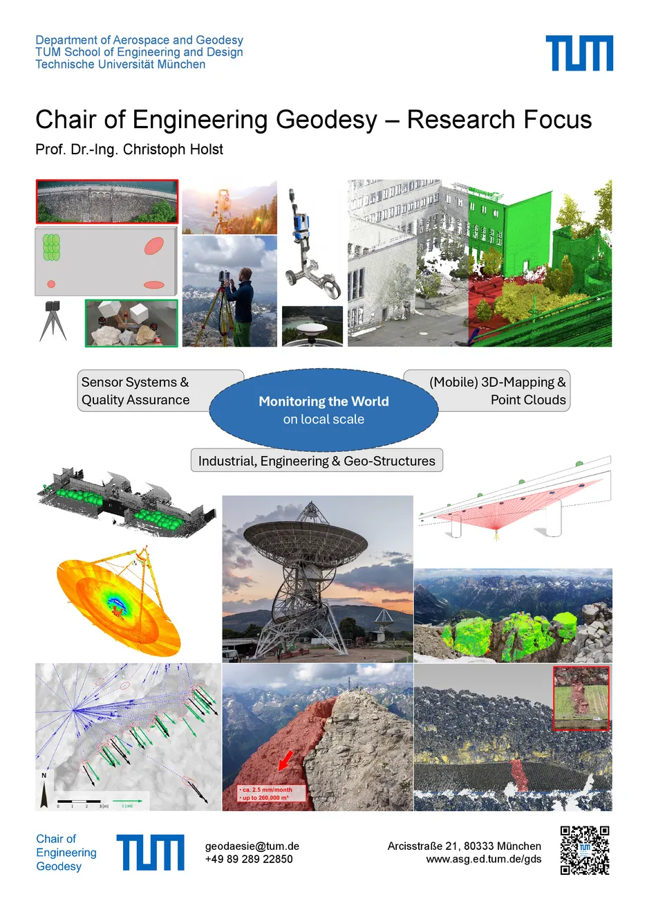
Research Focus
“Engineering geodesy is the discipline of reality capture, setting-out and monitoring of local and regional geometry-related phenomena, paying particular attention to quality assessment, sensor systems and reference frames” (Kuhlmann et al., 2014). Within this definition, the TUM Chair of Engineering Geodesy focuses on
- advanced methodologies for monitoring engineering objects – in context of infrastructural or industrial surroundings – and environmental objects – especially within the alpine regions,
- the quality analysis of geodetic sensors,
- technological advances and automatization in static and mobile laser scanning and
- in general, interdisciplinary applications in the context of digitizing the reality.
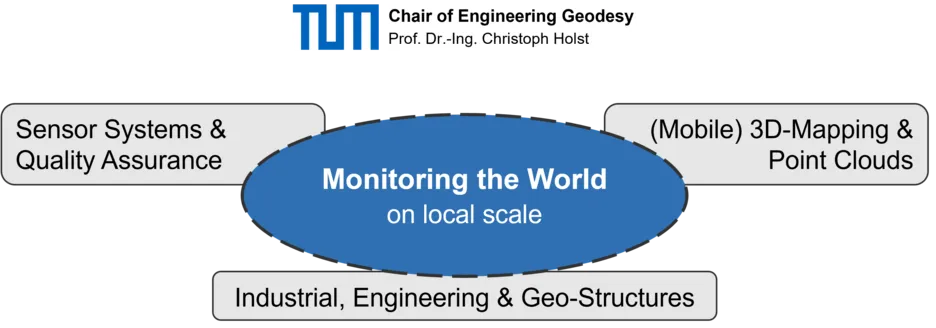
Herein, special attention is given to the interplay between laser scanning systems and the corresponding data processing to increase the accuracy, reliability and sensitivity of the derived results, adapted to the monitored structure (see Figure). More information is given in the