Geodesy and Geoinformation
Discover the fascinating world of geodesy at TUM – where observing and digitizing the Earth is your future!
The field of geodesy combines geosciences and engineering with digital innovation. Whether in sustainable urban planning, navigating autonomous vehicles, or climate research, our students learn to transform geodata into knowledge — to better understand the Earth, use resources responsibly, and create solutions to global challenges with innovative technologies.
Technology for the navigation and mobility of the future
Observing the Earth and shaping it sustainably
Designing human-centered living spaces in urban and rural communities

Exclusive studies
Small groups, outstanding teaching, and close supervision ensure an intensive, personal learning experience.

Innovative technology and practical training
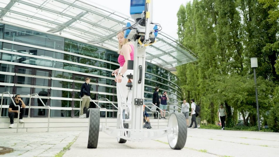
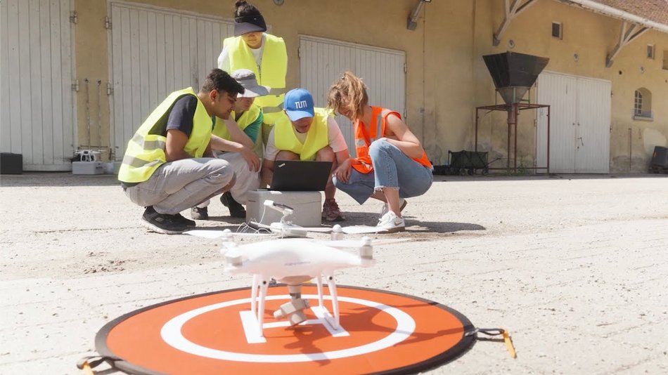
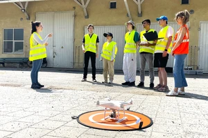
Modern laboratories, outdoor fieldwork, and interactive exercises combine theory and practice.

Research and networking
The connection to Munich's research landscape and collaborations with industry and the public sector open up excellent scientific and professional prospects.

Wide range of courses
Munich's profile combines the entire interdisciplinary spectrum of geodesy: engineering, natural sciences, information sciences, and social sciences.
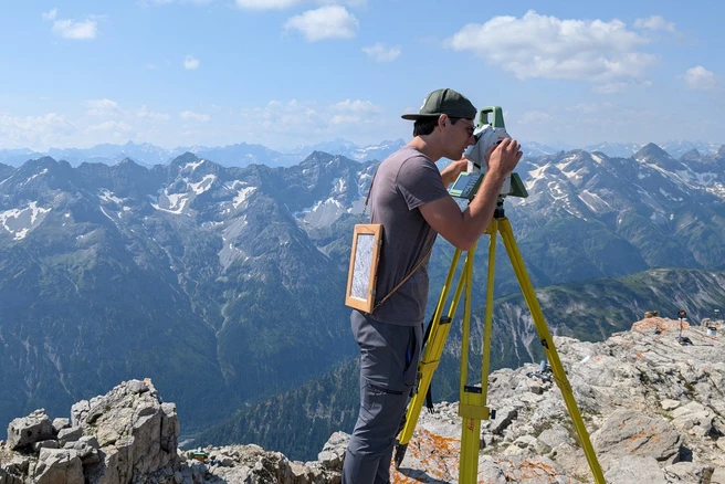
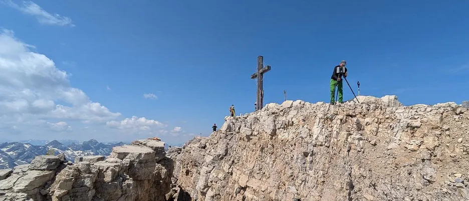
The bachelor's degree program in Geodesy and Geoinformation teaches the engineering fundamentals of surveying, measuring, and mapping the Earth's habitat. It is interdisciplinary in structure and combines mathematics, computer science, physics, geosciences, mechanical engineering, and electrical engineering. Geodetic topics are constantly present in our everyday lives—whether in determining location using navigation devices, in the early detection of natural hazards, or in the form of maps.
Are you familiar with the problem of getting lost in an unfamiliar place or in a complex building? You may believe that navigation services can save you from frustration. At the same time, however, you don't want to become spatially illiterate, i.e., someone who doesn't dare to take a step without navigation assistance. Finding your way in a digital forest is an even greater challenge, as neither a compass nor GPS work there. Don't worry: you can learn your sense of direction in physical and digital space in this international joint master's program in cartography. The program is aimed at digital natives who want to know how our world can be mapped in different types of maps on different display media and made accessible to everyone, including the visually impaired. We call this “mapping for a sustainable world.”
The master's program in Earth Oriented Space Science and Technology (ESPACE) is an interdisciplinary program that lies at the intersection of space technology and the engineering and scientific use of satellite data.
Degree Program Earth Oriented Space Science and Technology M.Sc.
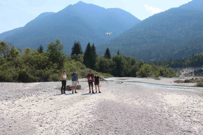
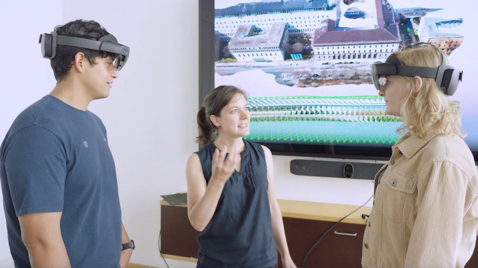
Whether we are observing our planet from satellites or from the ground, investigating the effects of climate change, surveying mountain ranges, or creating digital twins, geodesists use digital maps and virtual images to observe natural processes and human-induced changes on the Earth's surface. The interdisciplinary master's program in Geodesy and Geoinformatics offers a wide range of career opportunities and excellent future prospects. Content from mathematics, computer science, and the natural sciences form the basis for this engineering education.
Did you know that ninety percent of land ownership in developing countries is not documented, managed, or protected? Nevertheless, complex issues relating to land, urban sprawl, insecure land use rights, and climate change are not adequately addressed by administration and practice.
The degree program Land Management and Geospatial Science combines two scientific fields: land management and geosciences. The goal of the master's program is to train professionals who are able to apply concepts and tools related to land and space to analyze current international land issues. In addition, they should have the necessary soft skills to take on administrative tasks in land management.
The student perspective
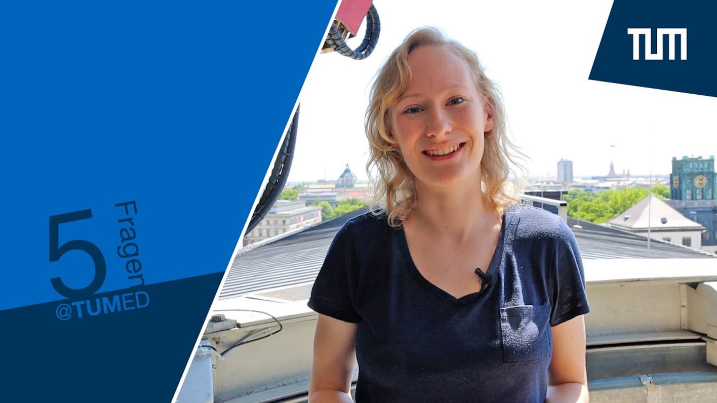
In the episode “5 Questions for...”, Antonia talks about her experiences in the bachelor's program in Geodesy and Geoinformation at the TUM School of Engineering and Design.