OpenStreetMap Boosting using Simulation-Based Remote Sensing Data Fusion
Funded by the DFG
Project Leader
Prof. Xiaoxiang Zhu
Project Scientist
Sining Chen
Cooperation Partners
TUM Chair of Cartography and Visual Analytics (Prof. Liqiu Meng); German Aerospace Center (Dr. Stefan Auer)
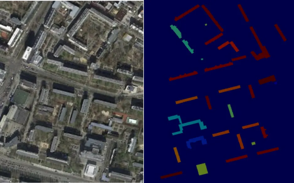
The main subject of the scientific investigations in this project is the improvement of building information (geometry, attributes) in OpenStreetMap (OSM) using a simulation-based fusion of heterogeneous remote sensing data and to use the updated OSM data for follow-up applications. The working basis is the simulation environment SimGeoI, which enables the modeling of imaging processes of different sensors by exploiting the metadata of remote sensing acquisitions as well as available geometric prior knowledge of the scene under investigation. SimGeoI allows not only a coarse semantic interpretation of the scene, but also an object-related alignment of corresponding scene elements. In this project, SimGeoI is used to compare geometric OSM information with remote sensing data produced under different sensor configurations and at different acquisition times, and to enrich OSM with geometric corrections (position, height) and attributes (e.g. building type, roof structure) gained from a fusion of the different remote sensing data. The scientific investigations of this project aim at three core themes: First, a methodical framework will be developed, which allows the geometric correction of OpenStreetMap data based on the prediction and comparison of building shapes, using a pair of remote sensing images (optical, SAR or mixed). In a second step, geometrically improved OSM information will be used to extract building-related attributes from multi-modal remote sensing data. Finally, the transferability of the developed methods will be experimentally analyzed and interfaces to follow-up applications (Open Event Mapping, Climate Event Portal, Virtual Reality) will be investigated. The methodology will be accompanied by validation in order to evaluate the positional, thematic and temporal accuracy of derived results.
