ESA Baltic+ Project - Theme 5
Geodetic SAR for Baltic Height System Unification (SAR-HSU)
The main objectives of the project are:
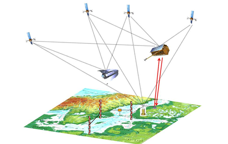
- Connection of tide gauge markers with the GNSS network geometrically by the geodetic SAR technique in order to determine the relative vertical motion and to correct the tide gauge readings.
- Determine a GOCE based high resolution geoid at tide gauge stations in order to deliver absolute heights of tide gauges with respect to a global equipotential surface as reference.
- Joint analysis of geometrical and physical reference frames to make them compatible, and to determine corrections to be applied for combined analysis of geometric and physical heights. These objectives are addressed by the project team with complementary expertise. The Baltic Sea serves as test area with very good geodetic infrastructure in order to identify the capabilities of the geodetic SAR technique for height system unification and determination of the absolute sea level at tide gauges.